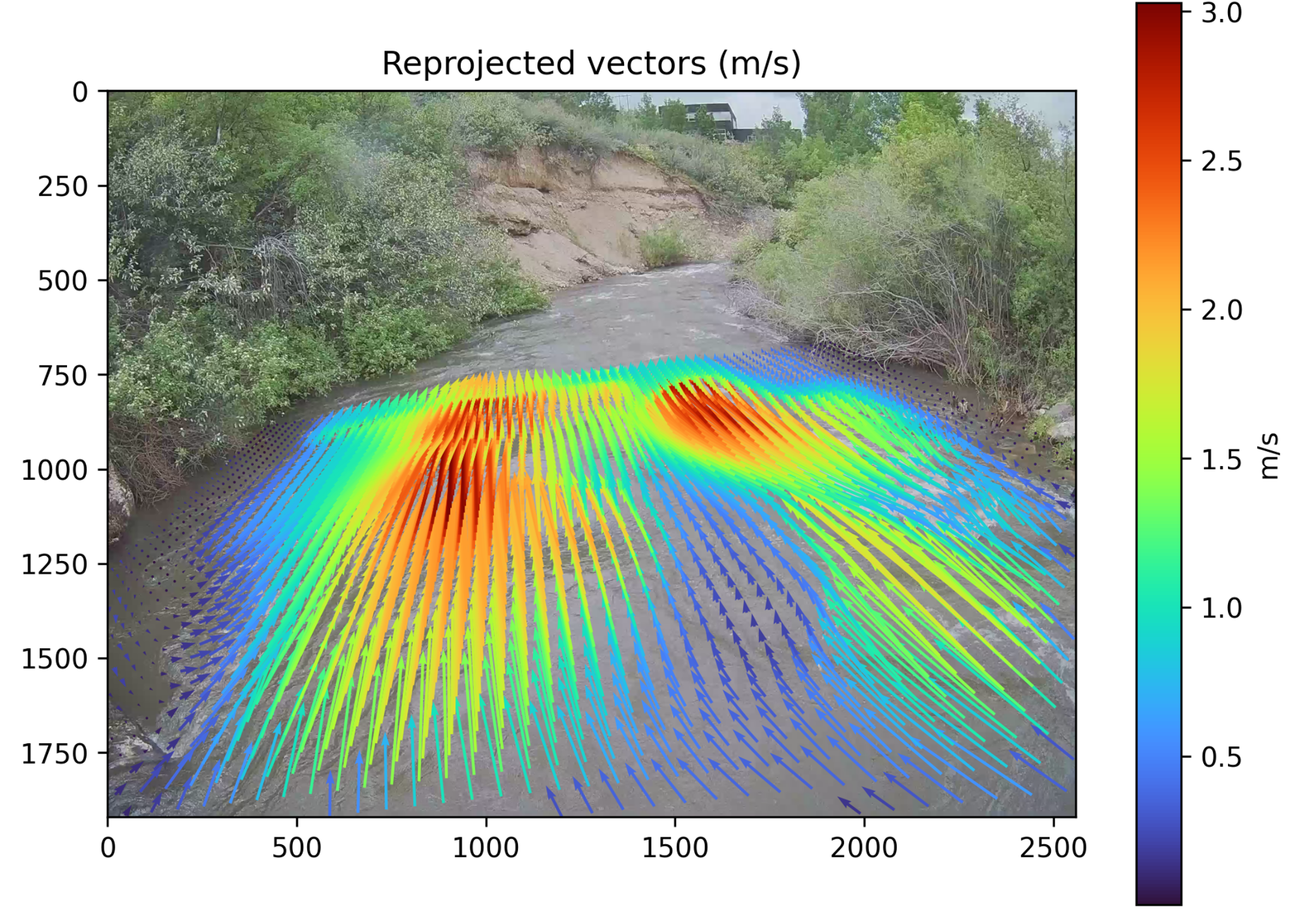
River Surface Velocity and Discharge Estimation
Fixed camera monitoring with deep optical flow, camera calibration, surface velocity reconstruction, and discharge estimation in real river environments.
Optical flowRiver dischargeComputer vision
I am a PhD student in Civil Engineering at Utah State University and a Graduate Research Assistant at the Utah Water Research Laboratory. My research focuses on the application of artificial intelligence, computer vision, and intelligent sensing technologies in civil and environmental engineering, with particular emphasis on smart hydrologic monitoring and autonomous field measurement systems.
Before starting my PhD, I completed my MS in Civil Engineering at Kyungpook National University in South Korea through a fully funded scholarship. During my master's research, I worked primarily on computer vision and deep learning applications for structural monitoring, including structural crack detection and monocular depth estimation. This experience established the foundation for my broader interest in applying artificial intelligence to practical civil engineering problems.
My current research focuses on developing camera based approaches for measuring river stage, surface velocity, and discharge, together with intelligent monitoring systems that integrate deep learning, edge computing, and field sensing. My broader interests include artificial intelligence applications in civil engineering, smart hydrology, computer vision, deep learning, structural health monitoring, synthetic data generation, and autonomous environmental sensing.
Selected projects connecting AI, computer vision, field sensing, hydrology, and infrastructure monitoring.
Fixed camera monitoring with deep optical flow, camera calibration, surface velocity reconstruction, and discharge estimation in real river environments.
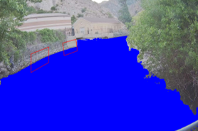
AI enabled image analysis and segmentation workflows for continuous river stage and hydrologic monitoring using low cost camera systems.
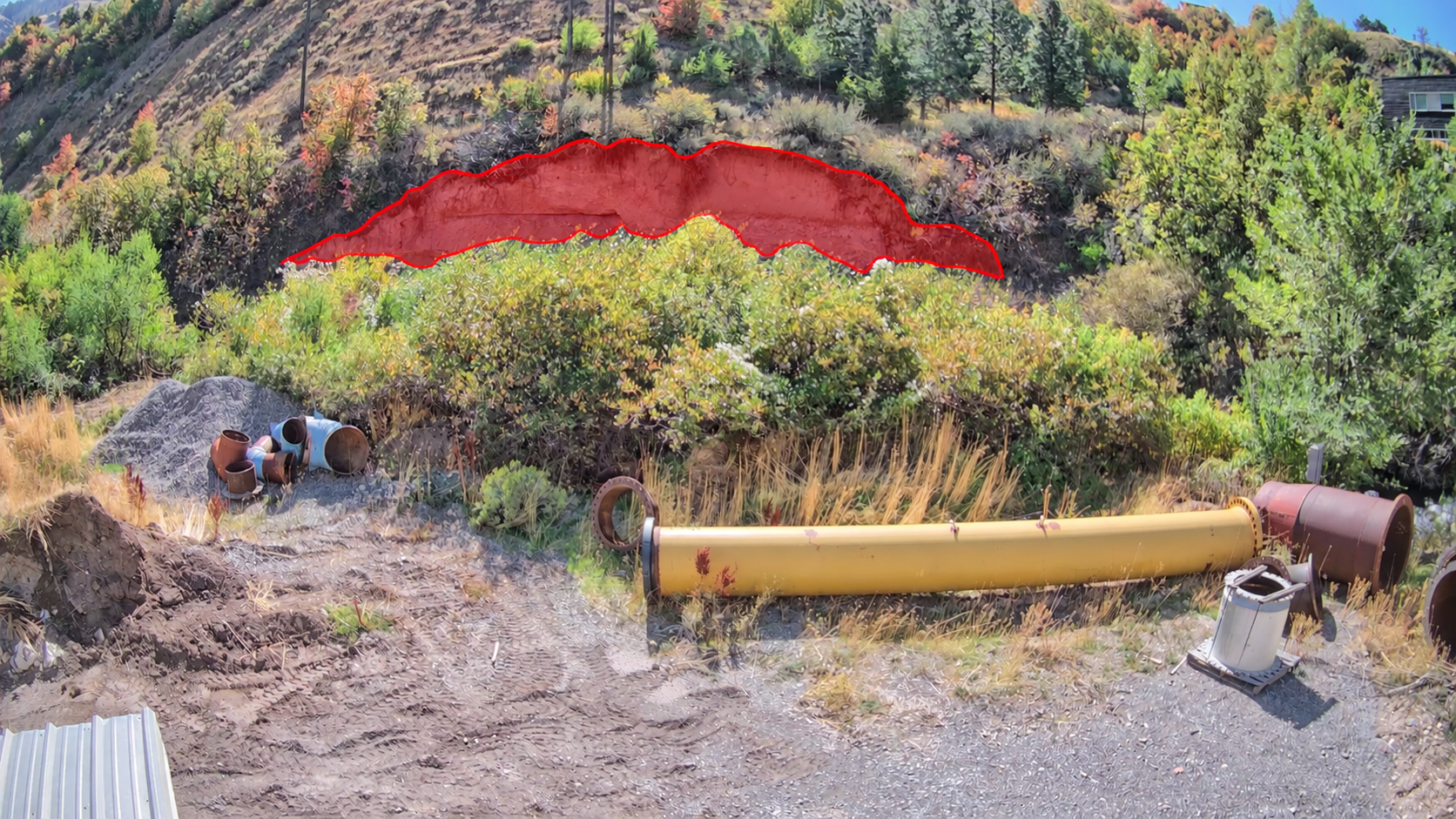
Field deployment of high resolution camera systems and autonomous data collection for non contact monitoring of slope movement and changing terrain.
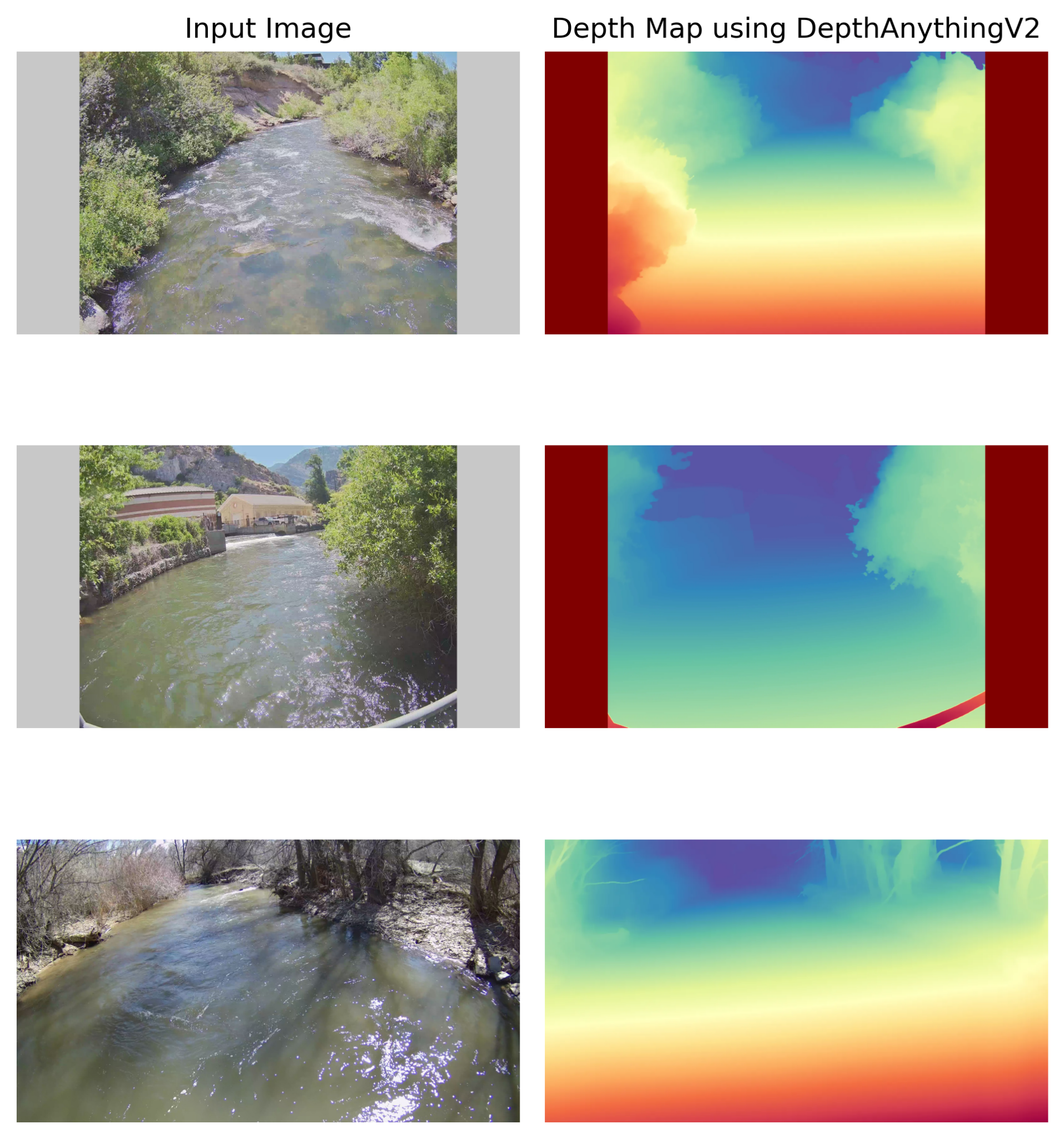
Development of paired RGB imagery and depth maps to study environmental variability and improve computer vision models for river monitoring.
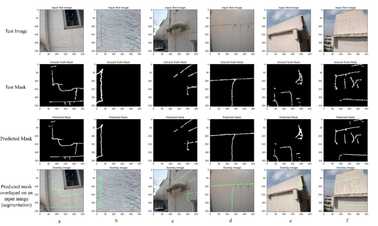
Deep learning methods for automated crack segmentation from drone and handheld imagery, with attention based architectures for structural condition assessment.